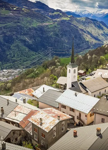
Sporty orienteering course around Macot - blue level

Welcome to the sporty orienteering course in Macot la Plagne!
A moderate course of 4km and 385m elevation gain with 5 markers.

All year round daily.
With this orienteering map, find the markers in the village, the fields and the slopes around Macot.
Use the key and the symbols on the map to orient yourself and find your position as well as the route you need to take to find the markers in the given order.
The starting point is shown by a triangle and each marker by a circle with its number. In the centre of each circle there is a characteristic feature of the terrain (intersection, fence corner, tree, etc.) where you will find the marker. On each marker, the code number allows you to check your location and read the corresponding explanations.
Open your eyes and find the 5 markers!
Use the key and the symbols on the map to orient yourself and find your position as well as the route you need to take to find the markers in the given order.
The starting point is shown by a triangle and each marker by a circle with its number. In the centre of each circle there is a characteristic feature of the terrain (intersection, fence corner, tree, etc.) where you will find the marker. On each marker, the code number allows you to check your location and read the corresponding explanations.
Open your eyes and find the 5 markers!
Difficulty Level
Level bue - Medium
Characteristic
Animals accepted
yes
OK for families with children
yes
Duration
1h30
Distance
4 km
Elevation gain
385 m
Descent
300 m
Type of itinerary
Circuit
Prices
Free access.
Nature of the terrain
Stone
Rock
Ground
Accuracy of Markings
Languages spoken
French
Downloadable files
Orienteering course around Macot
Download
Location
Mairie de Macot BP 04 Mairie
73210 La Plagne Tarentaise
How to get there
73210 La Plagne Tarentaise
700m
La Plagne Vallée
Contact the tourist office: