How to get to La Plagne
The extent of the territory of La Plagne is its richness. Be sure to locate your itinerary according to the village where you have chosen to stay.
There are 2 stations serving La Plagne:
- Moûtiers - Salin - Brides-les-Bains to Champagny-en-Vanoise
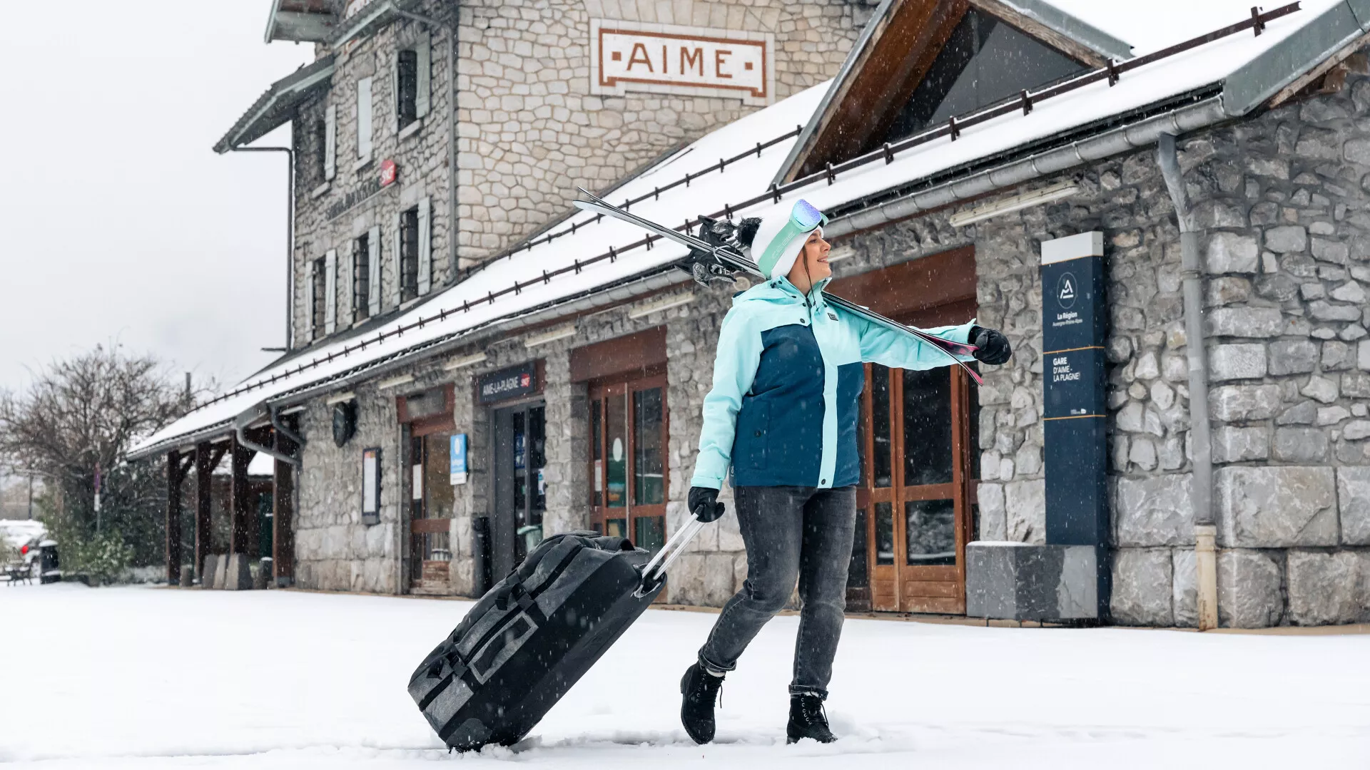
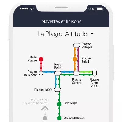
- Aime-la-Plagne, for the town of Aime, the villages of Montchavin - Les Coches & Montalbert, and the mountain resorts (Plagne 1800, Plagne Centre, Aime 2000, Plagne Soleil, Plagne Villages, Plagne Bellecôte, Belle Plagne).
Connection from the station
Once you've arrived at Aime-la-Plagne or Moûtiers - Salin - Brides-les-Bains station, the last step is to take the bus or taxi to your holiday destination. The bus stations are adjacent to the SNCF stations.
Here are the La Plagne bus routes:
- Bus line S70 between Aime station and Montalbert
- Bus line S71 between Aime station and La Plagne
- Bus line S72 between Landry station and Montchavin
- Bus route S66 between Moûtiers station and Champagny en Vanoise.
- From Lyon airport, the LYS'Express shuttle bus serves La Plagne.
- From Geneva airport, the Alpskibus shuttle serves Aime station: then take the S70 or S71 lines depending on connections, otherwise other alternatives such as cabs...
👉 Reservations can be made online.
Our advice
Find out in advance what bus times are available to reach your final destination from the station. Don't hesitate to call our tourist office if you have any questions. If a coach timetable is very close to the train's arrival time: don't worry, the coach driver is waiting for the connection!
La Plagne is located
- 645 km from Paris
- 196 km from Lyon
- 149 km from Geneva and Grenoble
GPS coordinates
- Altitude stations Longitude: 6.6803003 - Latitude: 45.5057012
- Montchavin-Les Coches Latitude: 45.559839 - Longitude: 6.7326237
- Champagny-en-Vanoise Longitude: 6.69540000 - Latitude: 45.45400000
- Plagne Montalbert (programme access via Aime) Longitude: 6.6334965 - Latitude: 45.5344696
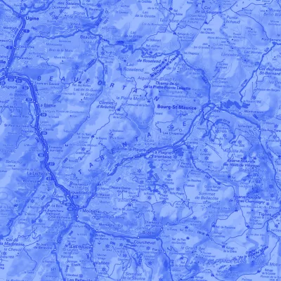
From Chambéry, take the A43 and A430 motorways to Albertville, then the N90 towards Bourg-Saint-Maurice, as far as Moûtiers or Aime. For Champagny-en-Vanoise: follow the D915 then the D91B. For Montalbert, Montchavin-les-Coches and other high-altitude sites: take the D220 from Aime, following signs for La Plagne.
The right reflexes for your journeys
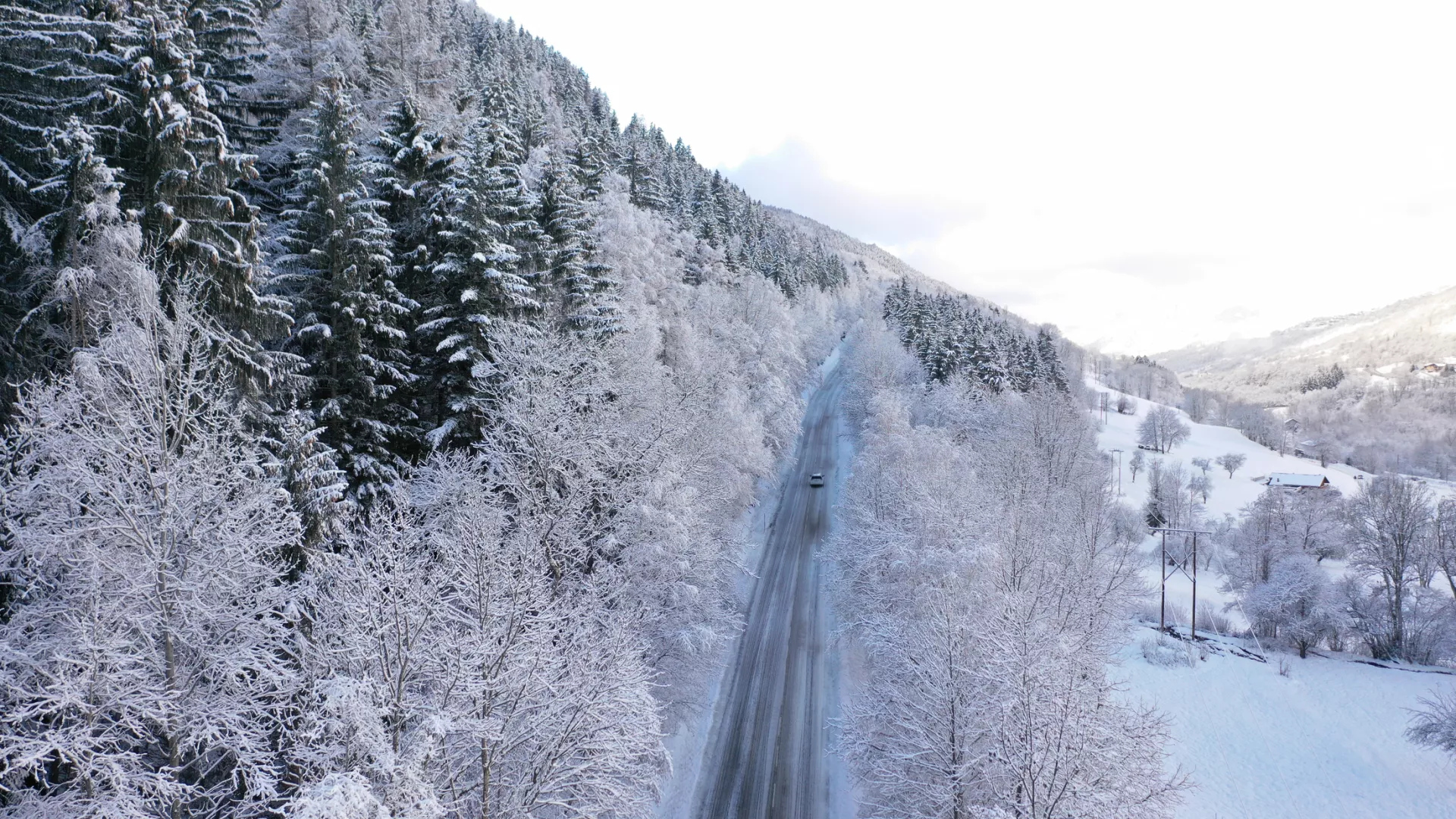
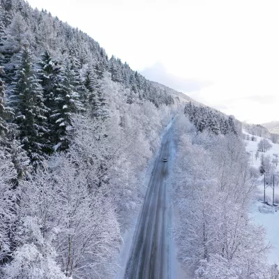
When driving to or from your accommodation, weather and snow conditions can sometimes cause difficulties. Anticipate these situations for your own safety:
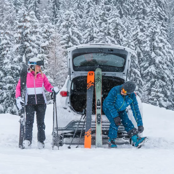
❄️ Make sure you have the special winter equipment you need: snow tires, chains adapted to your vehicle or "socks". To put on and take off your snow shoes, use the specially equipped areas at bends n°5, n°7, n°9, n°10, n°11, n°12, as well as the Provagnes area between the villages of Macot and Aime. During snowfalls, it is advisable to chain in the direction of ascent and descent.
⚠️ CLEAR YOUR VEHICLE OF SNOW, PAYING PARTICULAR ATTENTION TO THE ROOF AND HEADLIGHTS.
In the event of sudden braking, snow accumulated on the roof can spill onto the windscreen, considerably reducing your visibility. Remember to clear your vehicle completely.
👀 Keep up to date with traffic conditions by consulting savoie-route.fr or our traffic page, or by listening to local and roadside radio stations:
- R'La Plagne 101.5 and 94.9 FM
- Ici Pays de Savoie:
- 104.1MHz to Albertville
- 87.7MHz towards Moutiers
- 104.1MHz to Aime
- 103.7MHz towards Bourg-Saint-Maurice
- Autoroute Info 107.7 FM
🚨 S tay on the main routes and do not follow the alternative routes suggested by your GPS.
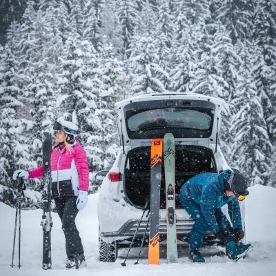
🍎 Before setting off, make sure you have food and drink for the journey, something to keep you busy, recharge your phone (external battery...) and keep warm if you stop for a long time.
Mandatory winter equipment
For the safety of everyone on our roads, it is now compulsory by law to wear winter-appropriate equipment. From November 1 to March 31, it is compulsory to :
- either carry metal or textile snow chains in your trunk to equip at least two drive wheels.
- or be equipped with four winter tires.
Traffic conditions and carpooling
As far as possible, encourage arrival and departure outside peak traffic periods. Please consult the following websites for traffic conditions:
From France: tel. 04 79 37 73 37 (24h/24h, free call from landlines)
From abroad: tel +33 892 687 888 (24h/24h).
France traffic: www.bison-fute.gouv.fr
Savoie traffic: www.savoie-route.fr
Real-time traffic: on google maps
Switch off your GPS when arriving in Albertville to avoid suggestions of roads that are not accessible in winter.
To reduce your carbon footprint & cut the cost of your journey: think about carpooling!

