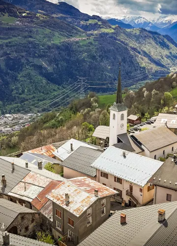
Hiking route : Tour du Crêt du Rey trail

Panoramic view of the Beaufortain and Mont Blanc massifs.

From 01/05 to 15/11 daily.
Subject to weather conditions.
Subject to weather conditions.
0/ Set off from Laval or Pré Jeune car parks.
1/ Take the direction of the Tour du Beaufortain, follow the track and the winding path to Col de la Pouprezaz.
2/ Go left and around La Raisse ridge towards Col de Corne Noire, then follow signs to "Tour du Crêt du Rey" .
3/ From Col de la Grande Combe follow the "Grand Tour de Tarentaise" signs and go back via La Coire refuge.
1/ Take the direction of the Tour du Beaufortain, follow the track and the winding path to Col de la Pouprezaz.
2/ Go left and around La Raisse ridge towards Col de Corne Noire, then follow signs to "Tour du Crêt du Rey" .
3/ From Col de la Grande Combe follow the "Grand Tour de Tarentaise" signs and go back via La Coire refuge.
Difficulty Level
Level red – hard
Characteristic
Animals accepted
yes
Duration
5h00
Distance
14 km
Elevation gain
1100 m
Descent
1100 m
Type of itinerary
Circuit
Prices
Free access.
Nature of the terrain
Stone
Rock
Ground
Accuracy of Markings
Downloadable files
Tour du Crêt du Rey footpath, valley of La Plagne
Download
Location
Parking de Laval Granier
73210 Aime-la-Plagne
How to get there
73210 Aime-la-Plagne
700m
La Plagne Vallée
Contacter l’office de tourisme :