Difficulty: difficult
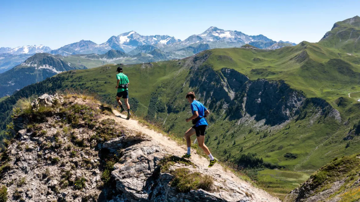
The same route as the reference race that takes place every year on the "Versant du Soleil", leaving from Granier village . A competititve trail running race that goes right into the heart of the Beaufortain massif!
You will cross the Granier mountain pastures to reach the highest point at 2566m: La Pointe de Combe Bénite. The path follows the ridges offering a 360° view. Open your eyes wide, the panorama will be magnificent!
0/ Set off from the centre of Granier village.
1/ GRANIER - THIABORD - PRA SPA
The route starts straight off with a climb on the footpaths crossing the slope in the direction of Thiabord and Pra Spa hamlets.
2/ PRA SPA - LAC DE GUIO - POINTE DE COMBE BÉNITE
It continues through the mountain pastures under Roche à Thomas before reaching the ridges and summit of Pointe de Combe Bénite.
3/ POINTE DE COMBE BENITE - CRET DU REY - CORMET D'ARÊCHES
The ridge continues before coming down into the combe below the summit of Crêt du Rey where we are back in mountain pastures which we cross to Cormet d'Arêches.
4/ CORMET D'ARÊCHES - CROIX DU BERGER - PLAN DES MARMOTTES - PLAN PICHU
The route then rises again towards the Croix du Berger and Plan de la Marmotte before going down to Plan Pichu.
5/ PLAN PICHU - REFUGE DE LA COIRE - CHALET DU CORMET
Climb again towards the Chalets du Cormet and Lac de la Gouille.
6/ LAC DE LA GOUILLE - THIABORD
The trail descends gradually across the slope until it rejoins the route taken on the way up, below Thiabord hamlet.
7/ THIABORD - GRANIER
Please note, the route is not marked.
Niveau difficulté
Level black - very hard
Prices
Free access.
Opening
All year round daily.
Subject to snow conditions.
Subject to snow conditions.
Downloadable files
Languages spoken
French
Characteristic
Animals accepted
yes
Durée
5h00
Distance
27 km
Elevation gain
1600 m
Descent
1600 m
Type of itinerary
Circuit
TRAIL running itinerary - Combe Bénite
Cœur du village de Granier Granier
73210 Aime-la-Plagne
73210 Aime-la-Plagne
Altitude
700m
La Plagne Vallée


