How to assess the difficulty of a trail route?
In general, the difficulty of a trail route depends on three main criteria: its length, its positive elevation gain (and negative, since the descent is just as demanding on the thighs and knees as the ascent), and the technicality of the terrain it traverses (it is easier to run on a relatively sanitized dirt road than on a 'single' marked by various obstacles, such as stones or roots).
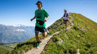
Two other pieces of information can also guide you towards a more or less demanding route: the profile of the itinerary (are the 800 m of elevation gain indicated in the technical sheet evenly distributed throughout the 20 km? Or on the contrary, should you expect a very steep climb all at once?); and the type of terrain announced (people prone to vertigo will, for example, avoid trail routes along a ridge).
To make your life easier (and the choice of your mountain run for the day), the trail routes in La Plagne are classified into four categories:
- Green level (easy; ideal for getting started with trail running in Savoie, or gently acclimatizing to altitude if you are a more experienced trail runner)
- Blue level (moderate; perfect for progressing in your trail running practice without pushing yourself too hard)
- Red level (difficult; distances increase, the positive elevation gain becomes significant, and the trail more technical; watch your step)
- Black level (very difficult; you'll feel it in your legs and lungs!).
Don't forget that mountain running is very different from road running. You can easily run 15 kilometers on the road… and struggle on a 10 km trail route! The reason? The elevation (and altitude).
Thus, it is considered that you should add 1 km to the announced distance for every 100 m of positive elevation gain to assess the actual effort required. For example, for a 10 km trail route with 900 m of elevation gain, you will need to exert an effort equivalent to 10 + 9, or 19 km-e (kilometer/effort).
Be progressive: start with an easy trail route
Are you new to trail running? Do you regularly practice trail running but live by the sea (that is… 0 m altitude)? Patience, patience! Don't underestimate the effect of altitude on your body. Start with an easy trail route (green level) to get your legs moving and test your feelings.
Depending on your fitness level after this first outing, you can decide to stick to short routes with little elevation gain; or conversely, make it more challenging by adding kilometers, elevation gain, technicality, etc. thanks to blue-level routes (moderate), red (difficult) and black (very difficult).
A trail route suited to your constraints (time, weather, mood of the day…)
Are you expected for a family rafting session this afternoon? Opt for a short trail route for your morning outing, and avoid venturing into higher altitudes (lest you get an earful from your impatient tribe…).
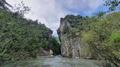
Is the mercury rising? Fill your water bottles with even more diligence than usual, and turn to a shaded forest trail, or one near the Isère. Conversely, is the weather report predicting a storm in a few hours? Play it safe and go stretch your legs on a nearby route that you can return from quickly.
Can't sit still? Do you have energy to spare, or need to vent some frustration? Choose a demanding trail route (like a steep climb, for example) to build up that good fatigue that will make you sleep like a baby.
Trail routes to prepare for your next race (The 6000D, Trail of Combe Bénite…)
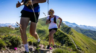
Is the trail running calendar in Savoie catching your eye? PTake advantage of your vacation in La Plagne to train on varied terrain (drivable paths, technical singles, ridges, valleys, rolling grassy pastures, intense dry climbs, winding descents…), and you will be able to face all the mountain races that you dream of.
Speaking of dream trails: why not go on a "recon" of the legendary trail of La Plagne, the famous 6000D (late July / early August)? Or the Combe Bénite Trail, held every year in September near the village of Granier, on the Sunny Side?
Ready to go? Not so fast, first check our cautious trail runner's checklist!
- Take a look (or even two) at the weather, even if it's beautiful when you wake up: the weather changes quickly in the mountains, don't be caught off guard by a storm.
- Take with you: water (better too much than not enough), snacks (granola bars, applesauce, fruit pastes, gels if your digestive system tolerates them), a charged phone, a windbreaker, sunscreen…
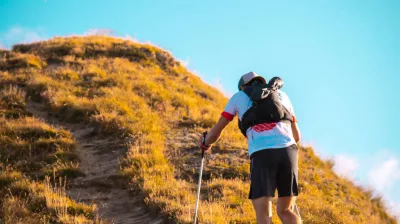
- Think about poles if you have weak knees (taking care of your body is the key to being able to run in the mountains longer)

