Difficulty red, Depart from the centre of Montchavin
Distance: 9.8 km
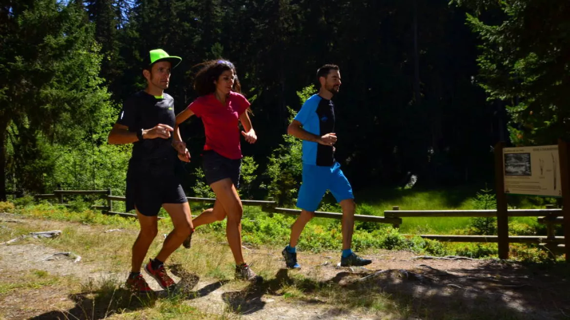
Total immersion in the depths of the forest of Montchavin la Plagne, including a beautiful descent, ideal for perfecting your technique!
Depart from Montchavin town centre
Total immersion in the depths of the forest of Montchavin la Plagne, including a beautiful descent, ideal for perfecting your technique!
From the centre of Montchavin take the road to la Pierra (trampled, in part, by the runners in the 6000D event) and then the "nature trail" to the hamlet of Crévaillet. A series of hairpin bends twist through the idyllic scenery. Keep your eyes open here – you may well bump into some of the forest animals! Continue until the peat bog beside Lac Noir, a unique natural feature formed over several thousand years when the great glaciers were in retreat.
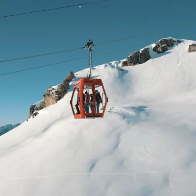
From here, the trail rises gradually to an altitude of 1,876 m before descending to the junction with the Fontaine Froide road, which you take for a short distance before embarking on a very technical descent that passes a short distance from the legendary Vanoise Express cable car and eventually arrives back at the starting point.
Niveau difficulté
Level red – hard
Prices
Free access.
Opening
From 27/06 to 29/08/2026.
Downloadable files
Languages spoken
French
Characteristic
Animals accepted
yes
Distance
9.8 km
Elevation gain
810 m
Descent
810 m
Type of itinerary
One-way itinerant stage
Précision balisage
The markers are positioned at each intersection and their inclination indicates the direction to follow. The routes are marked with a number and a colour indicating the level.
Red markers
Red markers
Nature of the terrain
Stone
Hard coating (tar, cement, flooring)
Ground
TRAIL route - Lac Noir
Départ Office de Tourisme de Montchavin Montchavin
73210 Montchavin-les-Coches
73210 Montchavin-les-Coches
Altitude
1250m
Montchavin - Les Coches

