Welcome to the Champagny le Haut Orienteering Course for cross-country runners!
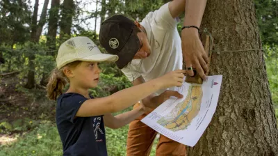
Choose your course (blue, red or black), and with the orienteering map, find the markers in the order proposed.
Using the legend and symbols on the map, orient yourself and find your position and the route you need to take to find the markers in the proposed order.
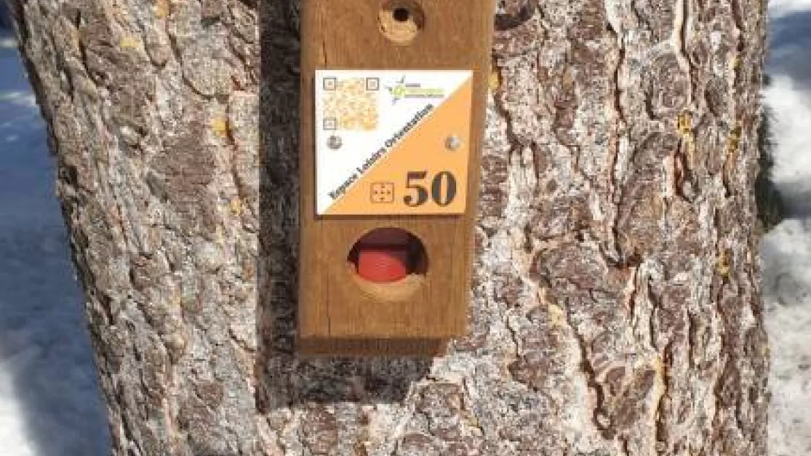
The starting point is represented by a triangle (Nordic ski chalet) and each marker by a circle with its number. In the centre of each circle is a characteristic feature of the terrain (intersection, corner fence, tree, etc.) on which the marker is located. It is sometimes necessary to leave the cross-country ski tracks to find the beacon.
On each beacon, the code number will allow you to check your location. Punch your card in the corresponding box.
Once you have completed the course, come and check your punches at the Tourist Office and win some goodies!
The colour of the route does not indicate its difficulty.
Blue route: La Couaz
- 14 markers to find
- 7 km (or 5.5km by the shortcut)
- Cross-country ski trails: blue and red
Red route: La Derrire
- 10 markers to find
- 5 km
- Cross-country ski trails: black, yellow and green
Black course : La Vallon
- 22 markers to find
- 11 km
- Cross-country ski trails: blue, red, black, yellow, green
Recommendations :
- Do not drive against the direction of travel on the groomed trails of the Nordic area
- Do not use the snowshoe, pedestrian or dog sled routes.
- Be aware of other skiers, snowshoers, pedestrians and sled dogs.
- Dogs are forbidden
You use this space and this orientation course under your own responsibility and under the condition that the Nordic area is open.
Niveau difficulté
Level black - very hard
Prices
Free entry for children under 5.
Nordic area access badge :
- Half-day: 8€/adult
- Day: 10€/adult 7€/children & seniors
- Week: 40€/adult and 22€/children & seniors.
Nordic area access badge :
- Half-day: 8€/adult
- Day: 10€/adult 7€/children & seniors
- Week: 40€/adult and 22€/children & seniors.
Opening
From 13/12 to 18/04 daily between 9 am and 5 pm.
Subject to snow conditions.
Subject to snow conditions.
Accepted payment methods
Bank/credit card
Cash
Downloadable files
Languages spoken
French
Orienteering course: cross-country skiing
départ : Chalet Nordique Le Bois Champagny le Haut
73350 Champagny-en-Vanoise
73350 Champagny-en-Vanoise
Altitude
1250m
Champagny-en-Vanoise

