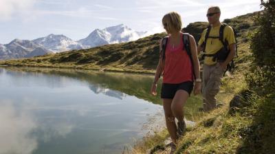
This hike requires some experience, but you will be rewarded with tranquility, flora, marmots and the beauty of the lake.
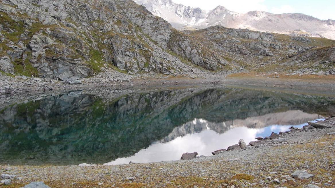
A pretty little lake with turquoise waters, green alpine meadows dotted with flowers and multicolored butterflies, a beautiful panorama for a colorful hike.
Start from Les Bauches
1 / Drive to Les Bauches along the road that carries on 6 km beyond Les Coches. At the junction at Fontaine Froide, keep following signs to "Les Bauches en voiture". Park in the parking area at Les Bauches.
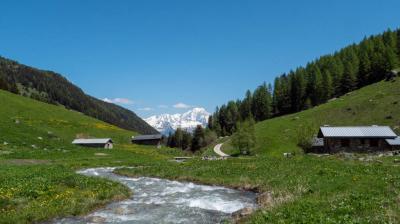
2/ Follow the track for 300m (P), cross the stream and walk along the right bank, passing a few houses before coming to a vast meadow.
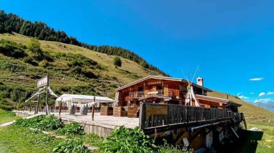
3/ Cross the stream again then climb the track then the path towards Le Dérochoir (typical damp rock) and carry on along the well-trodden path to the Chalet de Bellecôte (P).
4/ Leave the main track here and go off to the left, crossing the stream carefully and climbing the grassy slopes in a north-easterly direction on a good path.
5/ After several characteristic flat sections, follow the scree up to the lake located in a small hollow at the foot of a rocky ridge.
6/ To come back, walk a little way up the side of the stream that flows into the lake then come back down the fairly steep meadowland towards the Chalet de Bellecôte. Then follow Le Dérochoir trail back down.
Take special care if walking in mist, as the route becomes difficult to follow.
P = signpost
Niveau difficulté
Level red – hard
Prices
Free access.
Opening
From 28/06 to 30/08/2025.
Downloadable files
Characteristic
Minimum age
10 yrs
Animals accepted
yes
Durée
4h00
Distance
10 km
Elevation gain
721 m
Descent
721 m
Type of itinerary
Return
Précision balisage
The trail is marked with beige signs + blue writing.
Nature of the terrain
Not suitable for strollers
Stone
Rock
Ground
Hiking itinerary : Lac du Friolin
Les Bauches Les Bauches 1770m
73210 Montchavin-les-Coches
73210 Montchavin-les-Coches
Altitude
1250m
Montchavin- Les Coches

