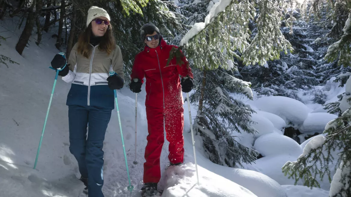
A trail that goes out and back on the same route going towards Plagne Montalbert 1600 for a walk through the calm of the forest, to the sounds of birds and water flowing in the streams.
This path is regularly groomed and is shared with cross-country skiers. It is easy and almost flat all the way, climbing 170 m and descending 160 m on the way out, then 200 m up and down on the way back.
From Plagne Centre, take the free bus (one every hour) going to "Les Charmettes" and get out at the stop at the top of the bobsleigh track. Alternatively, you can walk down a marked trail from Plagne 1800 or Plagne Bellecôte (follow signs to "Piste de Bobsleigh"). See the "Cavard clearing" direction sheet.
The walk starts to the left of the top of the bobsleigh track (outside the track). Walk along the "Route des Mairiers", a snow-covered road, for about 5 km (same distance back).
Please note that you will be crossing several ski runs and you should take care!
Return on foot only, there is no bus service from Plagne Montalbert 1600. Since this walk goes out and back on the same trail, you can stop whenever you want.
Start from the top of the Olympic bobsleigh track
1/ follow the track for 300 mètres then continue along the main track
2/ continue for 350 metres then take the road to the left
3/ continue for 500 metres and, at the junction, stay on the road to the left
4/ continue for 600 metres on the section above Les Frasses stream
5/ at the next junction, stay left
6/ at the next junction, stay right
7/ at the next junction, stay left
8/ at the next junction, stay right on the road that goes downhill
The trail ends opposite La Maignonne car park
Niveau difficulté
Level green – easy
Opening
From 13/12/2025 to 25/04/2026.
Downloadable files
Characteristic
Animals accepted
yes
Durée
3h30
Distance
10 km
Elevation gain
370 m
Descent
360 m
Type of itinerary
Return
Les Mairiers trail
Piste des Mairiers La Roche
73210 La Plagne
73210 La Plagne
Altitude
1800m


