Difficulty: Very challenging
Departure from the centre of Champagny.
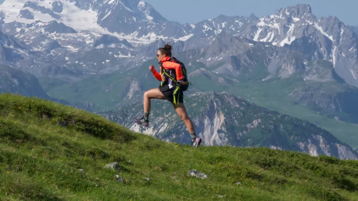
The Grand Bec Alpine Trail – established over twenty years ago – has been lengthened slightly to provide a loop. An exceptional journey into the heart of the Champagny mountains.
Grand Bec Trail - Difficulty: Very challenging
Distance: 27 km
1650 m uphill/1650 m downhill
The Grand Bec Alpine Trail – established over twenty years ago – has been lengthened slightly to provide a loop. An exceptional journey into the heart of the Champagny mountains. For experienced runners who love long wild trips! Warning: route not signposted on the ground. GPS Trace downloadable from http://ete.la-plagne.com/activites/trail.html.
From the centre of Champagny take the trail in the direction of Villard Dessus and le Chatelard to the area around Porcière. From here, follow the traversing path that leads to le Chalet des Verdons Sud, and then take the trail to the top of the gondola.
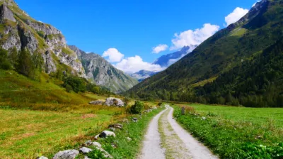
You now go down through the woods and through the hamlet of Planay, finally coming out of Champagny village to join the Plan des Mains trail into the valley of Champagny le Haut. Follow the stream through the valley – first on the left bank and then on the right – until the steep climb above the hamlet of le Bois.
Plunge down once again into the valley and head for the dam at the valley entrance. Then set off on the return trip on the Ubac (north-facing) side of the mountain, down through the forest and back to the starting point.
Niveau difficulté
Level black - very hard
For experts / practiced
Prices
Free access.
Opening
From 01/05 to 31/10 daily.
Subject to favorable weather.
Subject to favorable weather.
Downloadable files
Languages spoken
French
Characteristic
Distance
27 km
Elevation gain
1650 m
Descent
1650 m
Type of itinerary
Circuit
Nature of the terrain
Not suitable for strollers
Stone
Hard coating (tar, cement, flooring)
Ground
TRAIL Route - Le Grand Bec
Depuis le centre de Champagny
73350 Champagny-en-Vanoise
73350 Champagny-en-Vanoise
Altitude
1250m
Champagny-en-Vanoise

