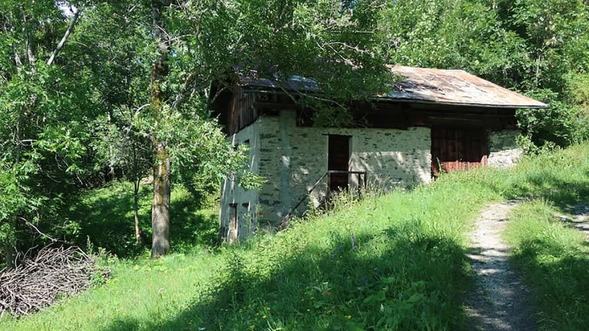
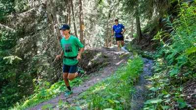
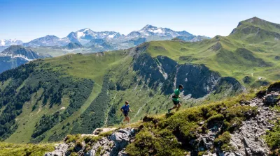
A hilly route over varied terrain in the heart of the mountain pastures of Plagne Montalbert. The perfect route for honing your training before taking it to the next level!
Les Teppes - Level: Intermediate
Distance: 6 km
240 m elevation gain /240 m descent
Distance: 6 km
240 m elevation gain /240 m descent
Starts from the bottom of the village of Montalbert
1/ Follow the departmental road before branching off (after 500m) to the right on a path that leads to the top of Longefoy.
2/ You then head west again and cross the departmental road once more to join a track through the pastures that takes you to the hamlet of Le Bois.
3/ Climb gradually towards Montalbert through the mountain pastures and Les Teppes woods.
Niveau difficulté
Level bue - Medium
Prices
Free access.
Opening
From 15/05 to 15/11 daily.
Languages spoken
French
Characteristic
Animals accepted
yes
Distance
6 km
Elevation gain
240 m
Descent
240 m
Type of itinerary
One-way itinerant stage
Précision balisage
Trail running route - Les Teppes
Depuis le bas de la Plagne Montalbert
73210 Plagne-Montalbert
73210 Plagne-Montalbert
Altitude
1350m
Plagne Montalbert

