Route du Col du Palet Parking du Bois Hameau Le Bois Champagny le Haut
73350 Champagny-en-Vanoise
See the map
73350 Champagny-en-Vanoise
See the map
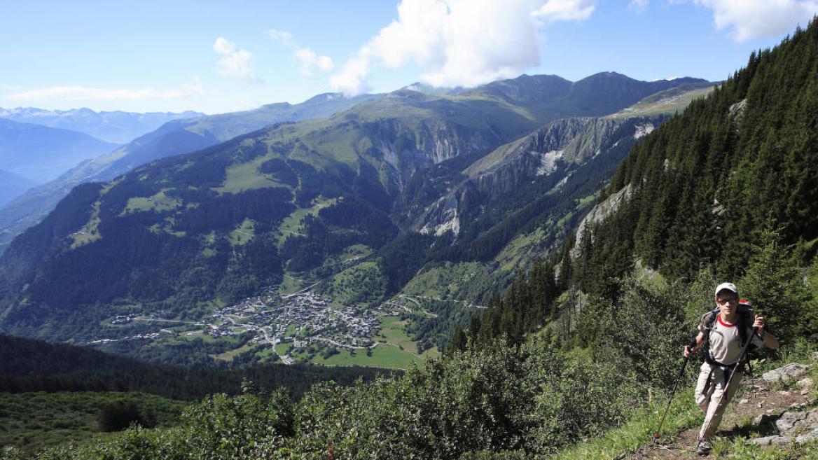
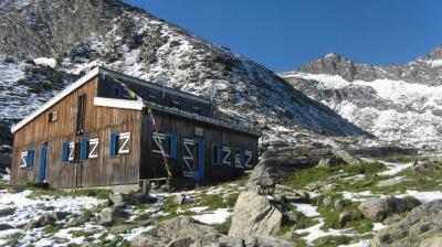
Walk up into the forest on the northern side of the dale taking a path to a combe and rising up along a ridge up to the refuge Plan des Gouilles.
Departure: Champagny Le Haut, parking in the hamlet Le Bois
Arrival: same
Duration: 4h40 including 2h45 of ascent
Shorter and easier variant (blue level) of route 8 - The Plan des Gouilles refuge via the Enclos du Seil.
From the Bois car park (cross-country ski chalet), take the tarmac road, cross the torrent by the bridge. On the right, take the motorable track for about a hundred meters until the sign indicating on the left the path going up towards the Plan des Gouilles refuge.
1/ Du parking (chalet de ski de fond), emprunter la route goudronnée, traverser le torrent sur le pont. A droite, emprunter la piste carrossable sur une centaine de mètres jusqu'au panneau indiquant à gauche le sentier montant en direction du Plan des Gouilles (panneau). Celui-ci grimpes en forêt sur plusieurs lacets. Plus haut, il rejoint une combe et s'élève le long d'une arête jusqu'à un éboulis constitué de gros blocs rocheux. A un carrefour, prendre sur la gauche.
2/ Quelques lacets dans une dernière pente raide dégagée permettent en 30 minutes environ d'atteindre le refuge du Plan des Gouilles.
Descente : par le même itinéraire
2/ Quelques lacets dans une dernière pente raide dégagée permettent en 30 minutes environ d'atteindre le refuge du Plan des Gouilles.
Descente : par le même itinéraire
Niveau difficulté
Level bue - Medium
Prices
Free access.
Opening
From 01/05 to 01/11 daily.
Subject to favorable snow and weather conditions.
Subject to favorable snow and weather conditions.
Characteristic
Minimum age
10 yrs
Animals accepted
yes
Durée
4h40
Distance
7.34 km
Elevation gain
883 m
Descent
883 m
Type of itinerary
Return
Précision balisage
Nature of the terrain
Not suitable for strollers
Stone
Ground
♿ Tourism and Disability
Not accessible in a wheelchair
Hiking to the Plan des Gouilles refuge
Route du Col du Palet Parking du Bois Hameau Le Bois Champagny le Haut
73350 Champagny-en-Vanoise
73350 Champagny-en-Vanoise
Altitude
1250m
Champagny-en-Vanoise


